Market Expansion Analysis with Google Maps Scraping
Learn how to evaluate cities and neighborhoods for expansion with Google’s supported APIs, Places Insights, compliant workflows, and reproducible analysis.
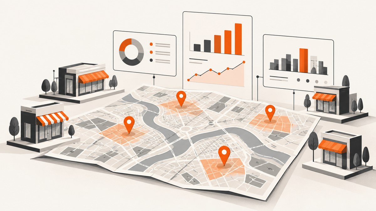
Direct answer: You can use Google Maps data to screen cities, neighborhoods, and trade areas for expansion, but a general-purpose Google Maps scraper is not a defensible foundation. Google’s Maps Platform Terms say: “Customer will not export, extract, or otherwise scrape Google Maps Content for use outside the Services.” The compliant approach is to use supported products such as Places API (New) and, where appropriate, aggregated Places Insights in BigQuery, then validate the results with non-Google evidence.
This guide shows how to turn location data into an expansion decision without confusing observed listings with demand or profitability. It covers decision design, API collection, normalization, analysis, reproducibility, legal boundaries, reliability, cost controls, and common implementation failures.
1. Define the expansion decision before collecting data
“Find the best market” is too vague to analyze. Write down the decision and the unit of analysis first:
- Market entry: Which cities should receive a first store or sales territory?
- Store placement: Which neighborhood, postal area, or drive-time zone is the best candidate?
- Territory coverage: Where are competitors concentrated, and where are service gaps visible?
- Competitor response: Which areas show a changing category mix, new openings, or declining supply?
Choose comparable geographies. Comparing a whole city with a small postal area produces misleading density numbers. Record the geography definition, boundaries, population denominator, and date of analysis. If your licensed Google product does not permit retaining or exporting raw coordinates, keep the analysis at an allowed aggregate level.
2. Choose a supported Google data product
| Product or source | Useful for | Key constraint |
|---|---|---|
| Places API (New) | Place Details, Place Photo, Nearby Search, Text Search, and Autocomplete | Follow Places policies for storage, caching, attribution, and use. |
| Places Insights in BigQuery | Aggregated analysis for site selection, market research, location-performance evaluation, and expansion planning | Use the product’s documented aggregates and current commercial terms. |
| Your first-party data | Sales, delivery areas, churn, conversion, and unit economics | Protect personal and confidential data; define a consistent time period. |
| External evidence | Census statistics, permits, leases, footfall studies, and surveys | Check geography, date, methodology, and licensing before joining. |
Google’s Places API (New) includes Place Details, Place Photo, Nearby Search, Text Search, and Autocomplete. Google also announced Places Insights in BigQuery as generally available on September 30, 2025, specifically for site selection, market research, location-performance evaluation, and expansion planning. Use the product that matches the question instead of attempting to reconstruct a prohibited external database.
3. Legal and licensing boundaries
The central risk is treating Maps Content as a downloadable competitor database. Google’s Terms give examples of prohibited external extraction, including copying and saving business names, addresses, or user reviews and bulk downloading places information. Google’s JavaScript policy also says that persisting a Place Name for use outside the user session constitutes scraping and is not allowed.
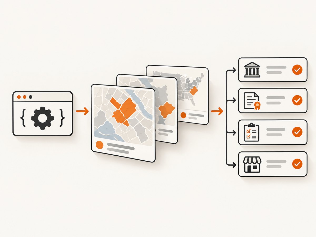
Before implementation, review the current Google Maps Platform Terms and Places policies with your legal and privacy teams. Your application should have publicly accessible terms of use and a privacy policy when required, show attribution for displayed results, and respect limits on caching and storage. If you upload a dataset through the Maps Datasets API, you must hold the rights to share that data with Google; the documented limits are 500 MB per file and 10 GB aggregate through the API.
A practical rule is: use Google’s APIs and licensed aggregates to answer a decision inside the permitted service, and do not export raw Maps Content into a lasting, independently distributed directory.
4. Build a comparable analysis model
Separate descriptive signals from decision outcomes. A high listing count describes observed supply. A rating distribution describes public feedback. Neither proves demand, profitability, or future revenue.
- Define the category: Specify included and excluded place types, synonyms, and chains.
- Set the geography: Use city, postal area, trade area, or drive-time zone consistently.
- Collect allowed fields: Category, operating hours, price level, ratings, service attributes, and location-performance indicators where the product supplies them.
- Normalize: Calculate comparable rates such as places per population or per square kilometer only when the underlying data and geography license allow it.
- Score candidates: Keep a transparent scorecard rather than hiding assumptions in a model.
- Validate: Compare promising areas with census data, permits, leases, footfall studies, surveys, and first-party sales.
| Dimension | Questions to answer |
|---|---|
| Coverage | Are the relevant place types represented in every candidate geography? |
| Freshness | When were status, hours, and attributes last updated? |
| Attribute depth | Do you have the fields needed for the decision, or only names and ratings? |
| Legal portability | May the result be stored, joined, exported, or published for this use? |
| Scalability and cost | What are API quotas, BigQuery processing charges, and monitoring requirements? |
| Decision validity | Is this a descriptive screen or evidence for an investment case? |
5. Run a supported Text Search request
The following examples use Places API (New) Text Search to retrieve a bounded result set for an analyst’s interactive or controlled workflow. Create a Google Cloud project, enable the Places API, create an API key, and restrict that key by API and server origin. Check the current documentation for field names, quotas, and billing before production.
cURL
curl -X POST \\
  'https://places.googleapis.com/v1/places:searchText' \\
  -H 'Content-Type: application/json' \\
  -H 'X-Goog-Api-Key: YOUR_API_KEY' \\
  -H 'X-Goog-FieldMask: places.id,places.displayName,places.formattedAddress,places.rating,places.userRatingCount,places.priceLevel,places.regularOpeningHours' \\
  --data '{
    "textQuery": "coffee shops in Austin, Texas",
    "pageSize": 20,
    "languageCode": "en"
  }'
Python
import os
import requests

url = "https://places.googleapis.com/v1/places:searchText"
headers = {
    "Content-Type": "application/json",
    "X-Goog-Api-Key": os.environ["GOOGLE_MAPS_API_KEY"],
    "X-Goog-FieldMask": (
        "places.id,places.displayName,places.formattedAddress,"
        "places.rating,places.userRatingCount,places.priceLevel,"
        "places.regularOpeningHours"
    ),
}
payload = {
    "textQuery": "coffee shops in Austin, Texas",
    "pageSize": 20,
    "languageCode": "en",
}
response = requests.post(url, headers=headers, json=payload, timeout=30)
response.raise_for_status()
for place in response.json().get("places", []):
    print(place.get("displayName", {}).get("text"), place.get("rating"))
Node.js
const apiKey = process.env.GOOGLE_MAPS_API_KEY;
const response = await fetch('https://places.googleapis.com/v1/places:searchText', {
  method: 'POST',
  headers: {
    'Content-Type': 'application/json',
    'X-Goog-Api-Key': apiKey,
    'X-Goog-FieldMask': [
      'places.id', 'places.displayName', 'places.formattedAddress',
      'places.rating', 'places.userRatingCount', 'places.priceLevel',
      'places.regularOpeningHours'
    ].join(',')
  },
  body: JSON.stringify({
    textQuery: 'coffee shops in Austin, Texas',
    pageSize: 20,
    languageCode: 'en'
  })
});
if (!response.ok) throw new Error(`${response.status} ${await response.text()}`);
const data = await response.json();
for (const place of data.places ?? []) {
  console.log(place.displayName?.text, place.rating);
}
Request only fields you need. Field masks make the response easier to audit and can reduce unnecessary payload and billing exposure. Do not turn this request into an unattended bulk exporter. Keep the result within the permitted workflow and retain only what your policy and license allow.
6. Turn responses into an expansion scorecard
A useful scorecard might contain supply density, category mix, rating distribution, price-level mix, opening-hour coverage, and a separately sourced demand proxy. Keep raw observations and derived measures distinct. For each run, record:
- Request date and time zone.
- Geography definition and boundary version.
- Search text, filters, field mask, and API version.
- Data freshness and any pagination or quota limits.
- Licensing basis, retention period, and required attribution.
- Formula, weights, excluded records, and analyst sign-off.
Use sensitivity checks. Recalculate rankings with different reasonable weights and remove one signal at a time. If a neighborhood wins only because of a small number of highly rated listings, treat it as a lead for validation, not a location recommendation.
7. Performance, reliability, and cost controls
- Bound every query: Use a defined geography, page size, and field mask. Avoid repeating identical searches in parallel.
- Cache carefully: Cache only what the current Places policy permits. Never assume an indefinite cache is allowed.
- Retry selectively: Retry transient 429 and 5xx responses with exponential backoff and jitter. Do not retry authentication or malformed-request errors unchanged.
- Make jobs resumable: Store your own request manifest and completion state so a failed run can resume without duplicating calls.
- Monitor quotas: Alert on quota exhaustion, rising error rates, and unexpected field usage.
- Control BigQuery spend: Partition analysis by geography and date, select only needed columns, and review bytes processed before large queries.
- Separate freshness jobs: Refresh volatile status and hours more often than stable geographic definitions.
There is no authoritative ROI or revenue-lift percentage in the official sources for this workflow. Treat any claimed uplift as an unsupported projection unless you have measured it with your own controlled evidence.
8. Troubleshooting common failures
| Symptom | Likely cause | Fix |
|---|---|---|
| 401 or 403 | Missing key, disabled API, or key restriction mismatch | Enable the correct Places API, verify the key header, and check project and origin restrictions. |
| 400 invalid argument | Malformed JSON, unsupported field, or wrong endpoint version | Validate the body and compare every field with the current Places API documentation. |
| 429 quota exceeded | Too many requests or a project quota limit | Throttle, add backoff, reduce fields, and request an appropriate quota increase. |
| Empty or inconsistent results | Ambiguous query, boundary mismatch, language variation, or category synonyms | Use explicit geography and category terms, run controlled variants, and document the query. |
| Rankings change between runs | Listings and attributes change; search results are not a census | Record timestamps, use a defined refresh cadence, and report uncertainty. |
| Legal review rejects the dataset | Raw Maps Content was exported, retained, or joined beyond permitted use | Stop the export, consult the current terms, and redesign around supported aggregates or transient analysis. |
| BigQuery job is unexpectedly expensive | Large scans, repeated queries, or unpartitioned tables | Preview bytes, partition filters, select fewer columns, and set project budgets. |
9. Or skip the browser setup
If your goal is to capture evidence from a public market page, competitor landing page, or internal dashboard, ScreenshotNeo provides a website screenshot API and MCP server. One GET request returns PNG, JPEG, WebP, or PDF. Before capture it accepts cookie and consent banners like a visitor and removes more than 60 known consent platforms, newsletter popups, and chat widgets; each step can be turned off. Bot checks, blank pages, timeouts, failed loads, and cache hits cost nothing, and the response identifies the result with X-Page-Verdict and X-Billed headers.

See the ScreenshotNeo documentation for all options.
cURL
curl -G "https://api.screenshotneo.com/v1/shot" -d access_key=YOUR_API_KEY --data-urlencode url=https://stripe.com -o shot.webpPython
import requests
r = requests.get("https://api.screenshotneo.com/v1/shot", params={"access_key": "YOUR_API_KEY", "url": "https://stripe.com"}, timeout=90)
open("shot.webp", "wb").write(r.content)
Node.js
const q = new URLSearchParams({ access_key: 'YOUR_API_KEY', url: 'https://stripe.com' });
const res = await fetch(`https://api.screenshotneo.com/v1/shot?${q}`);
For expansion research, you can add full-page capture with lazy images loaded, a CSS selector for one element, dark mode, a device preset or custom viewport, retina scale, custom CSS and JavaScript, click actions, selector waits, delay or network-idle waits, blocked ads and trackers, custom headers, cookies, user agent, Authorization, timezone, geolocation, transparent backgrounds, resizing, a chosen cache TTL, signed links, asynchronous jobs with signed webhooks, bulk capture of up to 100 URLs per call, and the usage API. An MCP server exposes take_screenshot, get_page_info, and capture_pdf to Claude, Cursor, and other MCP clients.
ScreenshotNeo includes 1,000 screenshots per month free with no card. Paid plans start at $5 for 3,000 shots; every feature is on every plan. Create a free ScreenshotNeo account.
10. FAQ
Can I save a list of every business found in Google Maps?
Do not assume that is allowed. Google’s Terms prohibit exporting, extracting, or scraping Maps Content for use outside the Services, with copying names, addresses, reviews, and bulk downloading given as examples. Check the current terms for your exact workflow.
Is a rating a measure of local demand?
No. A rating and review count describe public feedback and engagement for observed listings. Validate demand with first-party sales, surveys, census data, permits, leases, or footfall evidence.
When should I use Places Insights in BigQuery?
Use it when an aggregated Places workflow fits your site-selection, market-research, location-performance, or expansion-planning question and its current terms permit the intended analysis.
How often should an expansion model refresh?
Set the cadence by decision risk and field volatility. Record every run’s date, query, geography, and fields so changes can be explained.
Can screenshots replace location data?
No. Screenshots preserve visual evidence from a permitted page or dashboard; they do not grant rights to extract Maps Content or prove demand. Use them alongside licensed data and independent validation.