How to Build a 15-Minute City with Google Maps
Use Google Maps to check which everyday services you can reach in 15 minutes by walking, cycling, or transit—and understand what the map can’t tell you.
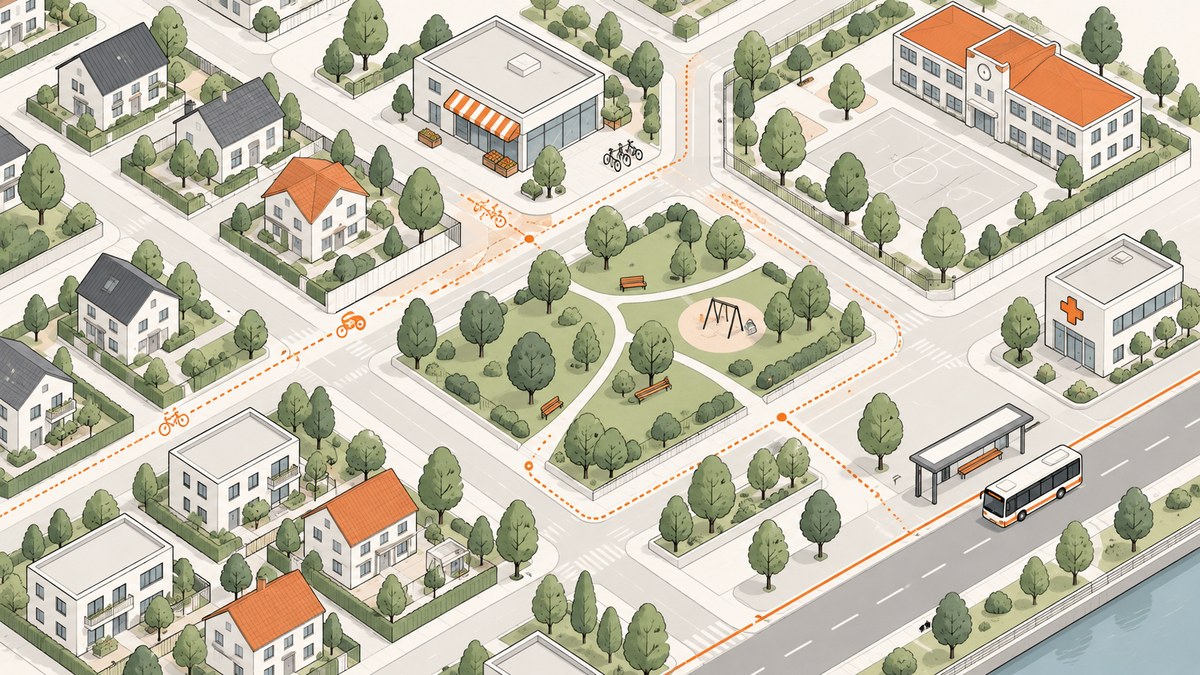
A useful 15-minute-city check starts with a specific origin, a list of everyday needs, and a travel mode. Google Maps can help you find nearby places and estimate routes by walking, bicycling, or transit. Repeat the same checks for each place you want to compare, and record the results separately by category and mode.
Treat the result as a screening exercise, not a verdict on whether a neighborhood is affordable, accessible, safe, or comfortable to navigate. A route line and travel-time estimate do not establish those things.
1. Define what “15-minute city” means for your check
There is no single required list of destinations or modes for every 15-minute-city analysis. Fort Collins, for example, describes the idea around meeting daily needs—including groceries, childcare, schools, and transit—with a short walk, bike ride, or roll, and its local vision focuses on neighborhood centers and active modes. Use that as one practical example, not a universal standard. City of Fort Collins: 15-Minute City
Before opening the map, write down three choices:
- Origin: a home, intersection, or central point in the neighborhood.
- Needs: the everyday services you want to check.
- Modes: walking, bicycling, transit, or a subset of these.
A starter list might include groceries, a school or childcare location, a park, a pharmacy or health service, and transit. Google Maps shows nearby categories including groceries, parks, pharmacies, schools, libraries, and emergency services. This starter list is not exhaustive; choose categories that fit the people and place being assessed. Google Maps Help: Use layers to find places, traffic, terrain, biking and transit
Set the threshold before comparing destinations. This guide uses 15 minutes because that is the title’s example. You can use a different threshold if your project defines one, but apply it consistently. Keep each mode separate: a destination that takes 7 minutes by bike and 19 minutes on foot does not meet a 15-minute walking threshold.
2. Choose and pin the origin
- Open Google Maps in a browser or the mobile app.
- Search for an address or place, or zoom to the neighborhood and select a representative point.
- Record the address, intersection, or coordinates you chose so you can use the same origin in every comparison.
Changing the origin can change both which destinations appear nearby and the route estimates. A neighborhood boundary is not necessarily a meaningful travel origin, so choose a point that matches the question: a particular home, a central intersection, or another clearly described location. If comparing two neighborhoods, pick equivalent origins—for example, each neighborhood’s central square or a corresponding residential intersection.

3. Find candidate destinations by category
Search for one need at a time near the origin. For example, enter “grocery stores,” “pharmacies,” “parks,” or “schools” in the search box. Inspect the map pins and select plausible destinations. Repeat for the categories on your list.
Do not assume the first result is the right representative destination. Look at the location, name, and available place details. A map listing does not by itself establish that a service is open when needed, affordable, suitable, or of adequate quality. Confirm important details with the provider or a local source.
For each category, you can assess the closest plausible destination, a destination you actually expect residents to use, or both. State which approach you chose. If the closest listing is not relevant—for instance, a specialty shop when you mean a full grocery store—note that and choose a more suitable candidate.
4. Request routes in each mode
- Select a candidate place and choose Directions.
- Set the origin you recorded in step 2.
- Choose the walking, bicycling, or transit option, where available.
- Record the displayed travel time and route distance for the route you are assessing.
- Repeat for the remaining destinations and modes.
Google Maps directions can display a path, distance, and travel time. Its Maps URLs also support travel-mode parameters for directions. Mode and route availability vary by area; record a mode as unavailable when Maps does not offer a usable result rather than counting it as zero minutes. Google for Developers: Get Started with Maps URLs
Google Maps may show more than one route. Decide whether you will record the suggested route, the shortest-time option, or a route that better fits your question, and use that rule consistently. If you change the departure time or other route settings, record that too, especially for transit.
5. Inspect the Biking and Transit layers
In Google Maps, open the layers control and look for the Biking and Transit map details. Google describes biking information such as dedicated lanes, bicycle-friendly roads, and off-road trails, as well as transit lines. These layers can help you inspect the route context around a destination. Some layer details may be unavailable where Google does not have enough information. Google Maps Help: map layers
Layer coverage is not proof that a route is comfortable or suitable for every traveler. A line on the map does not tell you whether a crossing feels safe, a footway is step-free, a cycle route is protected, or a station is usable with a mobility aid. If those factors matter, verify them with local information and, when practical, by visiting the route.
6. Record results without hiding missing data
A simple worksheet makes the check repeatable. Use one row per destination and mode:
| Need | Destination | Mode | Time | Distance | Result at 15 min | Notes |
|---|---|---|---|---|---|---|
| Groceries | Example market | Walking | Map estimate | Map distance | Yes / No | Route or listing caveat |
| Park | Example park | Bicycling | Map estimate | Map distance | Yes / No | Layer coverage |
| Pharmacy | Example pharmacy | Transit | Unavailable or estimate | Map distance | Yes / No / unavailable | Departure details |
These are example rows, not real measurements. Fill them from your own map session. Mark a destination as within the threshold only for the mode whose displayed estimate meets it. Keep “unavailable” distinct from “over 15 minutes” and from “no service exists”: missing map data cannot establish that there is no route or place.
For a neighborhood comparison, run the same categories and mode checks from equivalent origins. Compare estimated time, distance, relevant layer visibility, and which destinations meet the stated threshold. Preserve the notes about unavailable data and route context instead of folding everything into one score.
7. Understand what the result can and cannot say
This process can help answer a narrow question: “Does Google Maps show a route from this origin to this selected destination that appears to take 15 minutes or less in this mode?” It cannot, on its own, answer whether all residents can use the route or whether the destination meets their needs.
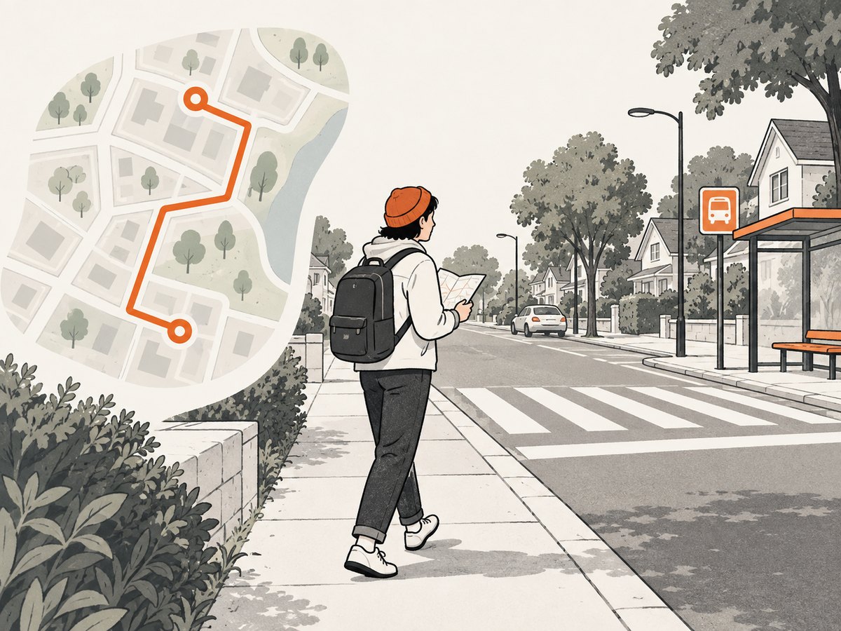
- It is not an accessibility audit. Route estimates do not certify step-free paths or suitability for a particular mobility need.
- It is not a safety assessment. A mapped route does not establish that crossings, sidewalks, roads, or cycling conditions are safe or comfortable.
- It is not a service-quality assessment. A nearby pin does not establish affordability, opening status, capacity, or quality.
- It depends on map coverage and choices. Origin, selected destination, travel mode, route option, and local data coverage can all affect what you see.
Use the map as a first pass. Verify important places with local sources and ground-truth routes when the decision depends on details the map does not show.
8. Optional: create shareable map links for directions
If you are documenting a small study, a Google Maps URL can open directions between an origin and a destination. The Maps URLs documentation describes the directions action and parameters, including travel modes. This is useful for sharing the route view, but it does not turn consumer Maps into a complete accessibility or neighborhood-analysis tool. Maps URLs documentation
https://www.google.com/maps/dir/?api=1&origin=Union+Station,+Denver,+CO&destination=Denver+Central+Market,+Denver,+CO&travelmode=walkingReplace the origin and destination with URL-encoded place names or addresses. Use the documented travel-mode values when constructing links, and check the current documentation for supported parameters. A shareable directions link is not a fixed measurement: Maps can update its map data and route estimates.
Or skip the browser setup
If your workflow needs a screenshot of a web page or map view for notes or a report, ScreenshotNeo is a website screenshot API and MCP server for developers. It can capture a URL as PNG, JPEG, WebP, or PDF. It does not replace the Google Maps route comparison above; it can capture a web page you can access by URL.
One GET request returns a screenshot. See the ScreenshotNeo documentation for API options.
cURL
curl -G "https://api.screenshotneo.com/v1/shot" \
  -d access_key=YOUR_API_KEY \
  --data-urlencode url=https://www.google.com/maps \
  -o shot.webp
Python
import requests

r = requests.get(
    "https://api.screenshotneo.com/v1/shot",
    params={"access_key": "YOUR_API_KEY", "url": "https://www.google.com/maps"},
    timeout=90,
)
open("shot.webp", "wb").write(r.content)
Node.js
const q = new URLSearchParams({
  access_key: 'YOUR_API_KEY',
  url: 'https://www.google.com/maps'
});
const res = await fetch(`https://api.screenshotneo.com/v1/shot?${q}`);
if (!res.ok) throw new Error(`Screenshot request failed: ${res.status}`);
await import('node:fs/promises').then(({ writeFile }) =>
  writeFile('shot.webp', Buffer.from(await res.arrayBuffer()))
);
For a real workflow, use a specific public map or web-page URL you can access, and follow the destination site’s access and usage requirements. A screenshot captures a page state; it does not calculate a 15-minute catchment or validate a route.
- Cookie banners, popups, and chat widgets are removed before the shot.
- Bot checks, blank pages, and failed loads are never billed; response headers say whether a page was clean and billed.
- An MCP server offers
take_screenshot,get_page_info, andcapture_pdftools for AI agents. - The Free plan includes 1,000 screenshots a month with no card; paid plans start at $5 for 3,000.
Sign up for 1,000 free screenshots a month, with no card required.
Troubleshooting
| What you see | Likely reason | What to do |
|---|---|---|
| No useful nearby results | The search wording, map position, or available listings do not match the need. | Search another relevant term, move to the recorded origin, and inspect listings individually. Verify service locations locally. |
| A mode is missing | That route mode or its data may not be available for the area or selected points. | Record it as unavailable. Do not infer that no route or service exists. |
| Biking or Transit layer is absent or sparse | Layer data can be unavailable where Google lacks sufficient information. | Check another map view and consult local route or transit sources; retain the coverage limitation in your notes. |
| Route time changes between checks | Route choices, departure details, or map information may differ. | Record the date, mode, route choice, and any departure setting. Repeat comparisons using the same method. |
| A route appears short but feels unusable | The displayed estimate does not certify comfort, safety, or accessibility. | Inspect locally and verify crossings, surfaces, access, and service details relevant to the traveler. |
| A destination pin seems unsuitable | A category match does not establish that the place meets your definition of the need. | Review the place details, select a more representative destination, and note why you chose it. |
Performance, reliability, and cost notes
For a manual check, the main cost is time: every category, destination, and mode adds another route to inspect and record. Keep the first pass focused on a short, defined list, then expand it if the decision requires broader coverage. For consistent comparisons, hold the origin, category definitions, mode, and route-selection rule constant.
Google Maps consumer directions are useful for screening individual trips. They do not automatically produce a full service-access analysis from this workflow. Google Maps Platform separately lists developer products for route computation and an Isochrones API that generates reachability polygons for supported modes. That is a developer product and is not necessary for this consumer tutorial; do not assume it is a built-in consumer Maps feature or free. Google Maps Platform product catalog
If you use screenshots to preserve a visual record, remember that a captured page reflects a moment in time. ScreenshotNeo’s stated pricing is Free for 1,000 shots per month, Starter $5 for 3,000, Growth $15 for 15,000, Pro $39 for 60,000, Scale $99 for 250,000, and Business $249 for 1,000,000; yearly billing gives two months free, and every feature is on every plan. Screenshot captures are separate from the route analysis and should not be treated as verified measurements.
Frequently asked questions
Does a 15-minute city mean every destination is 15 minutes away?
No single definition applies everywhere. Choose the daily needs, modes, and threshold for your check, then state them so the result can be understood.
Can I use transit and cycling in the same 15-minute check?
Yes, if those modes matter to your question. Keep their results separate so a short trip in one mode does not conceal a longer or unavailable trip in another.
Can Google Maps prove my neighborhood is accessible?
No. Use route estimates as a screening aid, then verify the access details that matter with local sources and on the ground.
Can I compare neighborhoods without a formal planning tool?
You can make a consistent first-pass comparison by checking the same needs and modes from equivalent origins. Label map estimates and data gaps clearly; a consumer map check is not a comprehensive urban-accessibility audit.