How to Save a Google Map with Multiple Markers as an Image
Save a Google My Maps map with multiple markers using print, screenshots, or ScreenshotNeo while keeping attribution and choosing the right output.
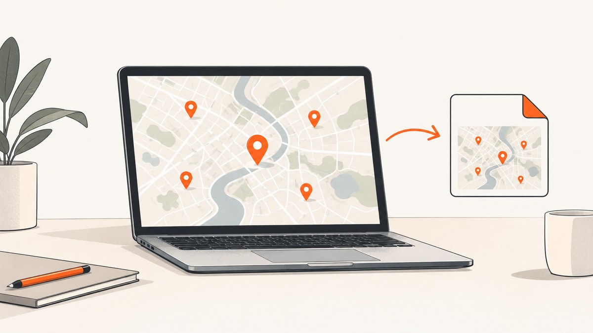
Quick answer: For several custom markers, use Google My Maps on a computer. Open the map, show the layers you need, then choose Menu → Print map. For a fast image of the current view, use your computer’s screenshot tool and keep Google attribution visible and legible.
Google’s current help documentation describes the print workflow but does not specify which file formats the print dialog offers. KML/KMZ and CSV exports are map data, not documented image exports.
Choose the right way to save the map
| Goal | Best workflow | Result |
|---|---|---|
| Printable map | My Maps → Menu → Print map | Google’s documented print flow; available output formats depend on the dialog. |
| Quick image of the visible map | Desktop screenshot | A picture of the map area currently visible on your screen. |
| Edit the geography elsewhere | Export KML/KMZ or a layer to CSV | Geographic data for another mapping or analysis tool, not a flat image. |
| Automate repeated captures | Browser automation or a screenshot API | Repeatable image files from a public map URL. |
Method 1: Print a Google My Maps map
- On a computer, open Google My Maps and open the custom map.
- Turn on the layers and markers that should appear. Hide unrelated layers.
- Pan and zoom until the required geographic area is visible. Check marker labels and overlapping points.
- In the left panel, open Menu and select Print map.
- Follow the print dialog instructions. If you need a digital file, choose an available file or printer option offered by your browser or operating system.
- Open the resulting file and verify that every marker, label, legend, scale, and attribution is readable.
My Maps is intended for user-created maps: you can add places, import data from spreadsheets, and style points and layers. A map can contain up to 10,000 places, lines, or shapes, with up to 2,000 features in a layer. Large maps may require several exports with different layer selections.
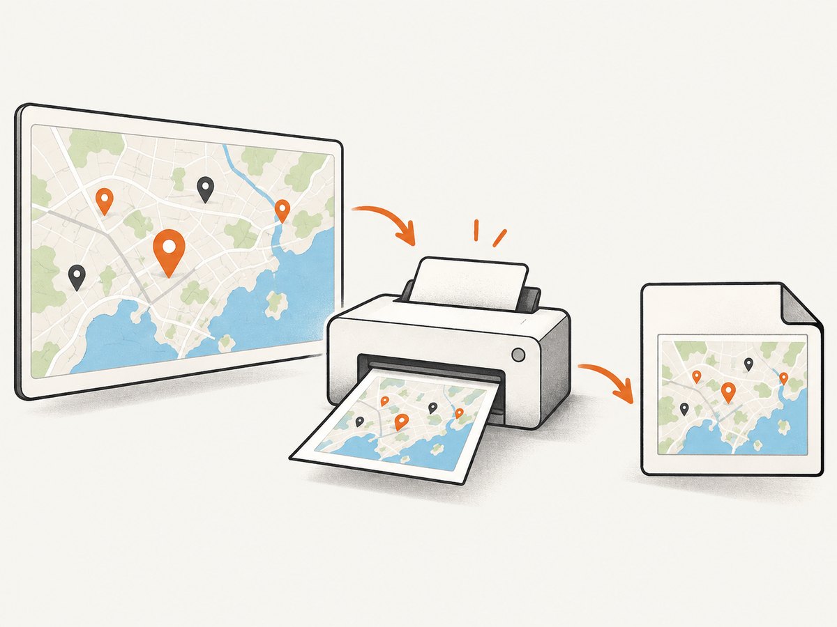
When printing does not produce the image format you need
The print help page does not promise a particular image format. If the dialog only offers a print-oriented output, use the desktop screenshot method below, or capture a publicly accessible map URL with an automated browser or screenshot API.
Method 2: Take a screenshot of the visible map
- Open the map on a computer and make the browser window as large as practical.
- Show only the layers and markers needed for the image.
- Set the zoom and position. Leave enough space for marker labels and avoid covering important points with the map controls.
- Use your operating system’s region or window screenshot command.
- Save as PNG for sharp labels, or JPEG when a smaller file is more important.
- Crop only empty browser space. Keep Google’s attribution close to the map content, legible, and unobscured.
This captures the visible screen area; it is a practical workaround rather than a special My Maps image-export command. A screenshot is usually best for a one-off image, a support ticket, or a quick document.
Improve screenshot quality
- Use a high display scale or a larger browser window before capturing.
- Zoom the map until labels are readable without making markers overlap unnecessarily.
- Capture at the final size needed for the document so later enlargement does not blur text.
- Temporarily close unrelated tabs, notification banners, and browser toolbars that could enter the image.
- Check the saved pixel dimensions and open the file at 100% before sharing it.
Method 3: Export map data instead of an image
Use data export when the map must be edited, analyzed, or imported into another geographic system:
- KML/KMZ: exports map information for compatible geographic applications.
- CSV: exports an individual layer’s tabular data.
These formats preserve geographic data. They do not create a flat picture of the map, its basemap, or its visible labels.
Keep Google Maps attribution visible
Google’s mapping guidelines require attribution and say it must not be removed, obscured, or cropped out. For screenshots, attribution should remain in close proximity to the map and legible to the average viewer. Google allows personal or non-commercial printing subject to its guidelines; commercial projects and wider distribution need a review of the current rules for the intended use.
Do not cover attribution with a crop, annotation, marker, or white rectangle. If the image will be published, retain the attribution exactly as displayed unless the applicable Google guidance permits a style or placement adjustment.
Automate a repeatable capture
For recurring reports, many URLs, or server-side jobs, a browser automation script can open a public map, wait for the map and markers to render, and save a screenshot. The map must be accessible to the capture session; a private map that requires an interactive login will generally need an authenticated browser profile and careful handling of credentials.
Browser-automation checklist
- Use a stable, shareable My Maps URL.
- Set a fixed viewport so output dimensions do not change between runs.
- Wait for map tiles, marker icons, and labels before capturing.
- Capture the map element or viewport after the desired layers are visible.
- Use a longer timeout for slow maps or large imported layers.
- Keep attribution in the captured region.
- Save a deterministic filename containing the map identifier and date.
Or skip the browser setup
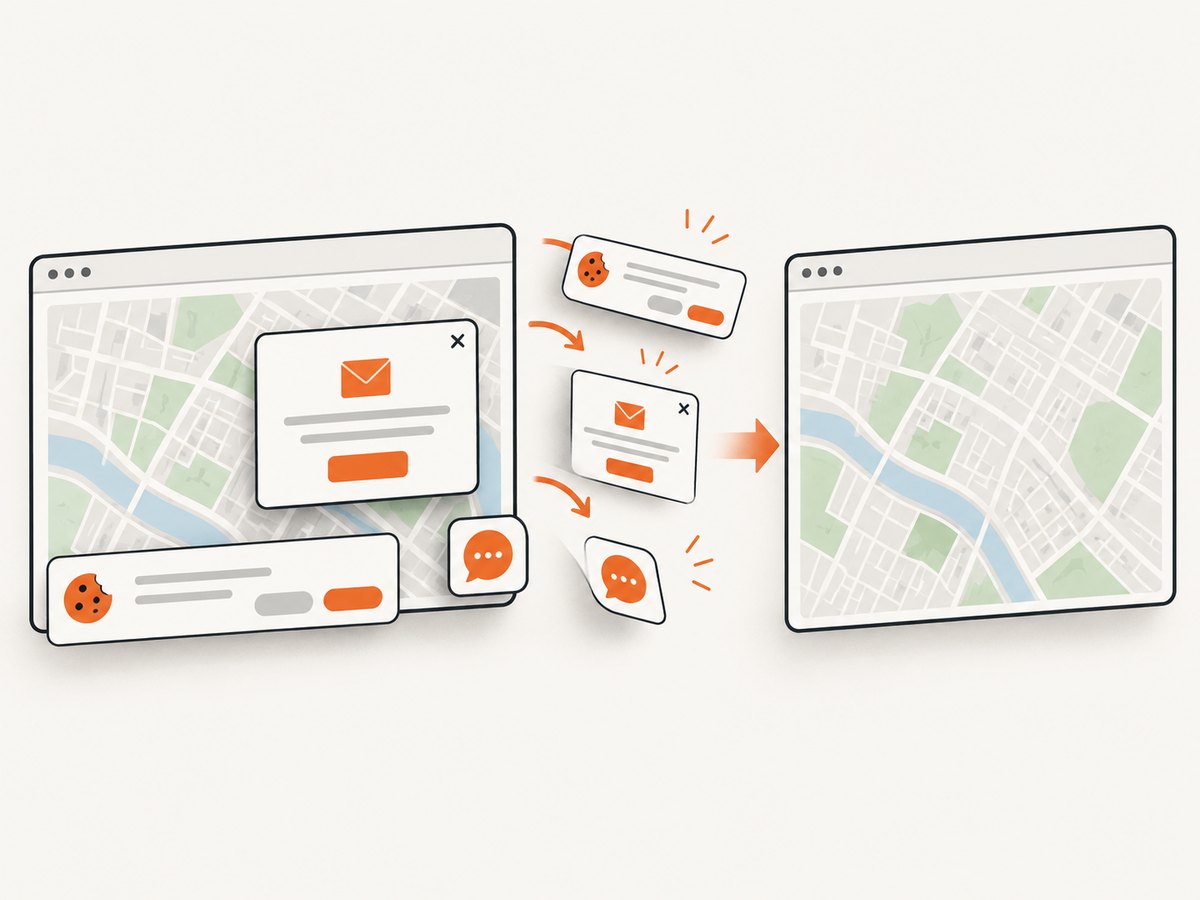
ScreenshotNeo captures a public map URL with one request. Its cleanup step accepts cookie or consent banners and removes more than 60 known consent platforms, newsletter popups, and chat widgets before the shot; each step can be turned off. Bot checks, blank pages, timeouts, failed loads, and cache hits are not billed, and the response identifies the result with X-Page-Verdict and X-Billed headers. An MCP server provides take_screenshot, get_page_info, and capture_pdf tools for Claude, Cursor, and other MCP clients.
See the ScreenshotNeo documentation for all options. The examples below target a public map URL; replace it with your shared My Maps URL.
cURL
curl -G "https://api.screenshotneo.com/v1/shot" -d access_key=YOUR_API_KEY --data-urlencode url=https://www.google.com/maps/about/mymaps/ -o map.webpPython
import requests

r = requests.get(
    "https://api.screenshotneo.com/v1/shot",
    params={
        "access_key": "YOUR_API_KEY",
        "url": "https://www.google.com/maps/about/mymaps/",
    },
    timeout=90,
)
r.raise_for_status()
open("map.webp", "wb").write(r.content)
Node.js
const q = new URLSearchParams({
  access_key: 'YOUR_API_KEY',
  url: 'https://www.google.com/maps/about/mymaps/'
});
const res = await fetch(`https://api.screenshotneo.com/v1/shot?${q}`);
if (!res.ok) throw new Error(`Screenshot failed: ${res.status}`);
const fs = await import('node:fs/promises');
await fs.writeFile('map.webp', Buffer.from(await res.arrayBuffer()));
ScreenshotNeo also supports full-page capture, CSS-element capture, dark mode, device presets, arbitrary viewports, retina scale, custom CSS and JavaScript, waits for selectors or network idle, hidden selectors, custom headers and cookies, geolocation, caching with a chosen TTL, signed links, asynchronous jobs, bulk capture of up to 100 URLs per call, and PDF output. These options help when the map page needs a fixed viewport, a delayed render, or a particular output format.
There are 1,000 free screenshots per month with no card. Paid plans start at $5 for 3,000 shots; every feature is available on every plan. Create a free ScreenshotNeo account.
Troubleshooting
| Problem | Likely cause | Fix |
|---|---|---|
| Markers are missing | Their layer is hidden or the map has not finished loading. | Enable the layer, wait for tiles and icons, then capture again. |
| Only part of the map appears | The screenshot covered the viewport, not the whole custom map. | Zoom and pan for the required area, use print, or use full-page/API capture where appropriate. |
| Labels overlap | Markers are too close at the selected zoom. | Zoom in, split the map into multiple images, or reduce label text. |
| Attribution is cut off | The crop or print area excluded the map edge. | Expand the capture region and verify attribution before publishing. |
| Export contains data but no basemap | KML/KMZ or CSV is a data export. | Use Print map or a screenshot for a flat image. |
| Map is blank in automation | The URL is private, requires login, or timed out before rendering. | Use a public share link, authenticate through an approved browser profile, and increase the wait or timeout. |
| Screenshot API returns an error | Invalid key, inaccessible URL, or page failure. | Check the API key and URL, inspect the response status and X-Page-Verdict/X-Billed headers, and retry transient page failures. |
Performance, reliability, and cost notes
- One-off work: a desktop screenshot is fastest because it has no setup or API cost.
- Print quality: print output may be more suitable for documents, but the available file format is determined by the current dialog.
- Large maps: many layers and thousands of features increase render time and make labels harder to read. Capture selected layers or split the map.
- Repeatability: fixed viewport, zoom, layer visibility, and wait conditions make automated output more consistent.
- API cost: ScreenshotNeo bills clean shots only; bot checks, blank pages, timeouts, failed loads, and cache hits cost nothing. Use caching for unchanged maps and bulk capture for batches.
- Privacy: do not place private map URLs or credentials in logs, public HTML, or client-side code. Use a server-side request for protected workflows.
FAQ
Can I save a My Maps map directly as PNG?
Google’s documented route is Menu → Print map; the current help page does not specify the print dialog’s exact file formats. For a guaranteed image workflow, capture the visible map with a screenshot tool or an image API.
Will KML or CSV include the map image?
No. They export geographic data for editing or analysis, not a rendered picture with the basemap and labels.
Can I do this on Android?
Google says My Maps is not available as an Android app. Custom maps can be viewed in Google Maps, while the documented print procedure is for a computer.
How many markers can a My Maps map contain?
Google documents a maximum of 10,000 places, lines, or shapes per map and 2,000 features per layer.
Can I publish a screenshot commercially?
Check Google’s current mapping and attribution guidelines for the intended distribution. Keep attribution visible and do not assume that a screenshot is automatically cleared for commercial use.